Yorkshire A to Y
Gazetteer
Scarborough former district — part of  NORTH YORKSHIRE X
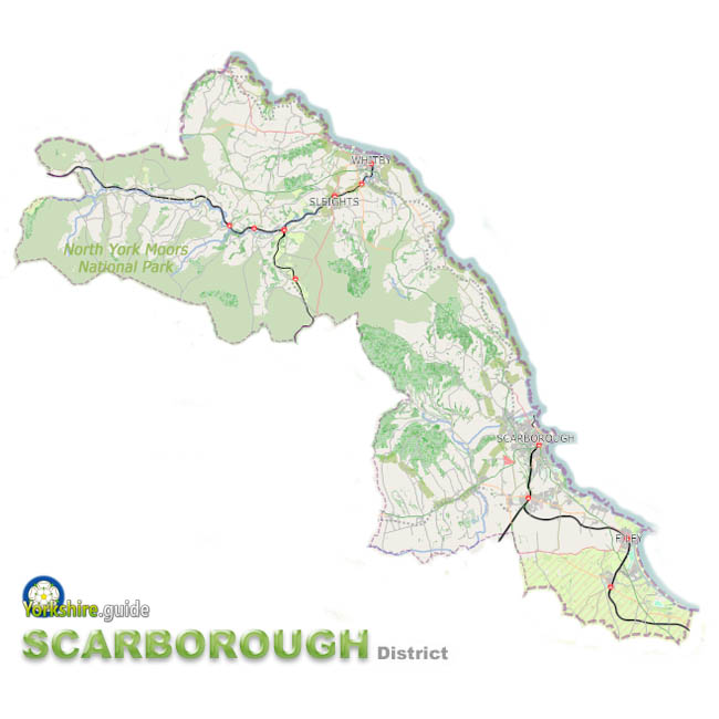 Scarborough Borough was the easternmost of seven now-abolished large district authorities which have been merged into a unitary authority of North Yorkshire.
The Scarborough district covered around 315 square miles of the area now run by North Yorkshire Council, the unitary authority the Government has created from the former County Council which covers a massive area of around 3,085 square miles and more than 600 towns and villages.
As well as the seaside resort of Scarborough which was the administrative centre, the former Scarborough district covered nearly half the sea coast of Yorkshire, including the northernmost of its heritage coasts.
On a section of the coast and inland is part of the North York Moors National Park.
The wide area of the district, created in 1974, also included the seaside towns of Whitby and Filey and dozens of villages.
The population of the area is more than 109,000.
There are 39 parish and town councils within the Scarborough district. The Scarborough town area is the only location in the borough which does not currently have this tier of government.
To view our gazetteer of places across all the new North Yorkshire Council unitary authority see
 NORTH YORKSHIRE
Places in the Scarborough district were:
 Ainthorpe
 Aislaby
 Briggswath
 Brompton-by-Sawdon
 Burniston
 Castleton
 Cayton
 Cloughton
 Commondale
 Danby
Danby East Ayton
 Eastfield
 Egton
Egton Egton Bridge
 Ellerby
 Filey
Filey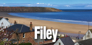
 Flixton
 Folkton
 Fylingthorpe
 Glaisdale
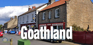
 Goathland
 Goldsborough
 Gristhorpe
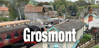
 Grosmont
 Hackness
 Harwood Dale
 Hawsker
 Hinderwell
 Hunmanby
 Hutton Buscel
 Kettleness
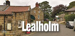
 Lealholm
 Lythe
Lythe Mickleby
 Muston
 Newby
Newby Newholm
 Osgodby
 Ravenscar
 Reighton
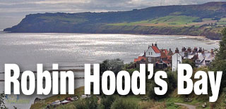
 Robin Hood's Bay
 Roxby
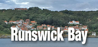
Roxby Runswick Bay
 Ruswarp
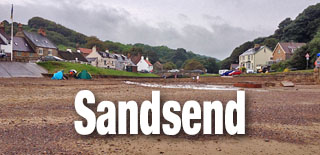
 Sandsend
 Scalby
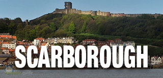
 Scarborough
 Seamer
 Sleights
 Snainton
 Sneaton
 Speeton
 Stainsacre
 Staintondale
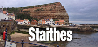
 Staithes
 Ugglebarnby
 Ugthorpe
 West Ayton
 Westerdale
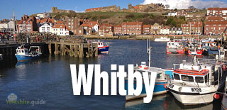
 Whitby
 Wykeham
We continue to add more villages to our A to Y gazetteer and the above may not yet list all places in Scarborough former district — part of
 NORTH YORKSHIRE