Yorkshire A to Y
Gazetteer
Harrogate former district — part of  NORTH YORKSHIRE X
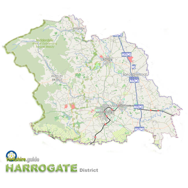 Harrogate Borough was one of the seven now-abolished large district authorities which have been merged into a unitary authority of North Yorkshire.
The Harrogate district covered over 505 square miles of the area now run by North Yorkshire Council, the unitary authority the Government has created from the former County Council which covers a massive area of around 3,085 square miles and more than 600 towns and villages.
Much of the western half of this district was made up of the hills and reservoir-filled valleys of the Nidderdale Area of Outstanding Natural Beauty while in the east it stretched as far as the Rivers Swale and Ouse in the Vale of York.
The administrative centre was Harrogate and the wide area included a few smaller towns, dozens of villages and also a city — Ripon, which is historically the second city of Yorkshire.
The district population of over 160,000 was the largest population among the districts of North Yorkshire abolished in 2023.
To view our gazetteer of places across all the new North Yorkshire Council unitary authority see
 NORTH YORKSHIRE
Places in the Harrogate district were:
 Aldborough
 Aldfield
 Arkendale
 Asenby
 Askwith
 Baldersby
 Baldersby St James
 Beckwithshaw
 Bickerton
 Bilton
 Bilton in Ainsty
 Birstwith
 Bishop Monkton
 Bishop Thornton
 Blubberhouses
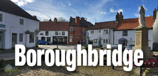
 Boroughbridge
 Brearton
 Burnt Yates
 Burton Leonard
 Cattal
 Coneythorpe
 Copgrove
 Copt Hewick
 Cowthorpe
 Cundall
 Dacre
Dacre Dacre Banks
 Darley
 Dishforth
 Farnham
 Farnley
 Fearby
 Ferrensby
 Flaxby
 Follifoot
 Galphay
 Glasshouses
 Goldsborough
 Great Ouseburn
 Green Hammerton
 Greenhow Hill
 Grewelthorpe
 Hampsthwaite
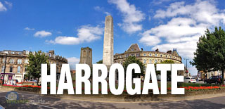
 Harrogate
 Healey
 High Grantley
 Huby
Huby Hunsingore
 Hutton Conyers
 Kettlesing
 Killinghall
 Kirby Hill
 Kirkby Malzeard
 Kirkby Overblow
 Kirk Deighton
 Kirk Hammerton
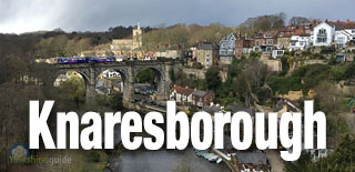
 Knaresborough
 Langthorpe
 Leathley
 Little Ouseburn
 Little Ribston
 Littlethorpe
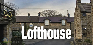
 Lofthouse
 Long Marston
 Lower Dunsforth
 Low Laithe
 Markington
 Marton-cum-Grafton
 Marton-le-Moor
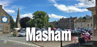
 Masham
 Melmerby
 Middlesmoor
 Minskip
 North Rigton
 North Stainley
 Norton-le-Clay
 Nun Monkton
 Pannal
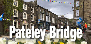
 Pateley Bridge
 Rainton
 Ramsgill
 Ripley
 Ripon
Ripon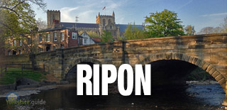
 Risplith
 Roecliffe
 Sawley
 Scotton
 Sharow
 Sicklinghall
 Skelton on Ure
 South Stainley
 Spofforth
 Starbeck
 Staveley
 Summerbridge
 Thornthwaite
 Timble
 Tockwith
 Walshford
 Wath
Wath Weeton
 Whixley
 Wighill
 Wilsill
 Winksley
We continue to add more villages to our A to Y gazetteer and the above may not yet list all places in Harrogate former district — part of
 NORTH YORKSHIRE