Yorkshire A to Y
Gazetteer
Hambleton former district — part of  NORTH YORKSHIRE X
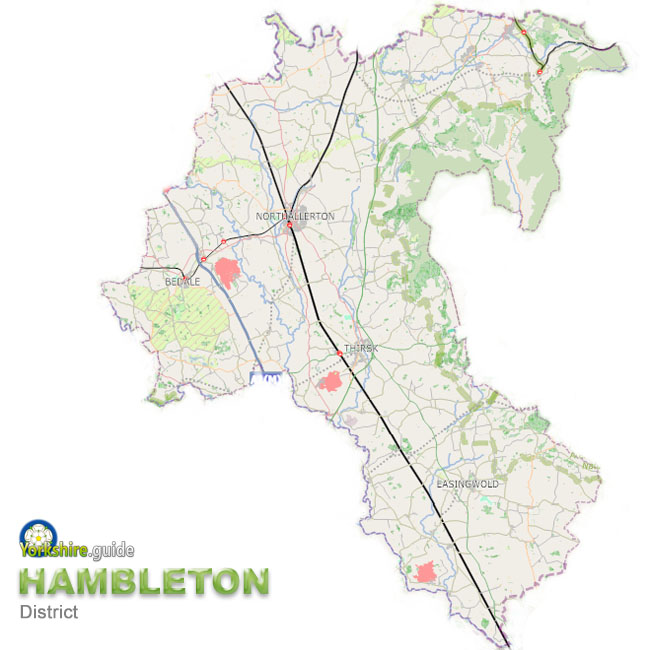 Hambleton was one of the seven now-abolished large district authorities which have been merged into a unitary authority of North Yorkshire.
The Hambleton district covered around 506 square miles of the area now run by North Yorkshire Council, the unitary authority the Government has created from the former County Council which covers a massive area of around 3,085 square miles and more than 600 towns and villages.
The district was named after the Hambleton Hills in the North York Moors National Park, part of which is at the eastern edge of the area.
Much of the area is agricultural land in the Vale of York and Vale of Mowbray, but the wide area includes a number of towns and dozens of villages.
The administrative centre was Northallerton and this continues as Northallerton is also the county town of North Yorkshire.
The population of the area is over 91,000.
To view our gazetteer of places across all the new North Yorkshire Council unitary authority see
 NORTH YORKSHIRE
 Places which were in Hambleton are:
 Ainderby Quernhow
 Ainderby Steeple
 Aiskew
 Aldwark
 Alne
Alne Appleton Wiske
 Bagby
Bagby Battersby
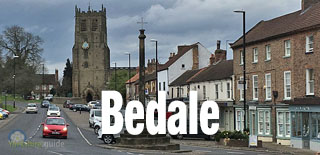
 Bedale
 Boltby
 Borrowby
 Brafferton
 Brandsby
 Brompton
 Broughton
 Burneston
 Carlton Husthwaite
 Carlton in Cleveland
 Carlton Miniott
 Carthorpe
 Chop Gate
 Coxwold
 Crakehall
 Crathorne
 Crayke
 Dalton
 Danby Wiske
 Deighton
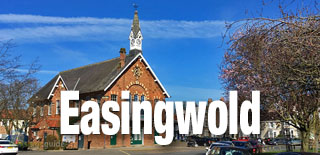
 Easingwold
 East Cowton
 East Harlsey
 East Rounton
 Exelby
 Faceby
 Farlington
 Felixkirk
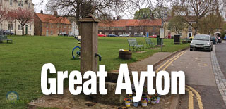
 Great Ayton
 Great Fencote
 Great Langton
 Great Smeaton
 Great Thirkleby
 Hackforth
 Helperby
 Hornby
 Huby
Huby Husthwaite
 Hutton Rudby
 Hutton Sessay
 Ingleby Arncliffe and Ingleby Cross
 Ingleby Greenhow
 Kepwick
 Kilburn
 Kildale
 Kirby Knowle
 Kirby Sigston
 Kirby Wiske
 Kirkby in Cleveland
 Kirkby Fleetham
 Kirklington
 Knayton
 Leeming
 Leeming Bar
 Linton-on-Ouse
 Low Worsall
 Marton in the Forest
 Maunby
 Morton-on-Swale
 Myton-on-Swale
 Nether Silton
 Newby Wiske
 Newton-on-Ouse
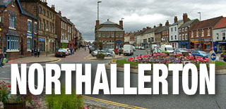
 Northallerton
 Nosterfield
 Osmotherley
 Oulston
 Pickhill
 Potto
Potto Raskelf
 Romanby
 Rudby
Rudby Sandhutton
 Scruton
 Seamer
 Sessay
 Shipton by Beningbrough
 Sinderby
 Skipton-on-Swale
 Snape
Snape South Kilvington
 South Otterington
 Sowerby
 Stillington
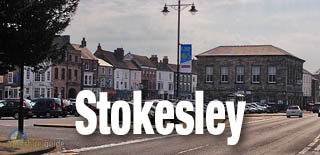
 Stokesley
 Sutton on the Forest
 Sutton-under-Whitestonecliffe
 Swainby
 Thimbleby
 Thirlby
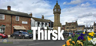
 Thirsk
 Tholthorpe
 Thormanby
 Thornborough
 Thornton-le-Beans
 Thornton-le-Moor
 Thornton-le-Street
 Thornton Watlass
 Tollerton
 Topcliffe
 Welbury
 Well
Well West Rounton
 West Tanfield
 Whenby
 Yafforth
 Yearsley
We continue to add more villages to our A to Y gazetteer and the above may not yet list all places in Hambleton former district — part of
 NORTH YORKSHIRE