Yorkshire A to Y
Gazetteer
Selby former district — part of  NORTH YORKSHIRE X
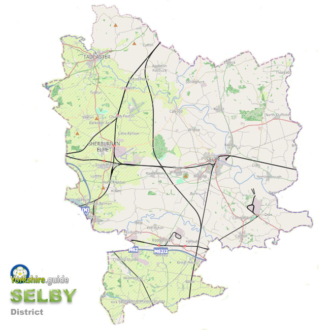 Selby district is the southernmost of the seven now-abolished large district authorities which have been merged into a unitary authority of North Yorkshire.
The Selby district covered around 231 square miles of the area now run by North Yorkshire Council, the unitary authority the Government has created from the former County Council which covers a massive area around 3,085 square miles and more than 600 towns and villages.
Selby district had boundaries with West Yorkshire, South Yorkshire, the East Riding of Yorkshire, City of York and, its shortest border with the Harrogate district of North Yorkshire. The area is mostly agricultural but former coalfield sites and new business development in some of the larger villages is providing increasingly diversified industry in some locations.
The town of Selby was the adminstrative centre but the district also included many villages and the small town of Tadcaster.
The population of the area is over 91,000.
To view our gazetteer of places across all the new North Yorkshire Council unitary authority see
 NORTH YORKSHIRE
Places in the Selby district were:
 Appleton Roebuck Barkston Ash Barlby Barlow Beal Biggin Bilbrough Birkin Bolton Percy Brayton Brotherton Burn Burton Salmon Camblesforth Carlton Cawood Chapel Haddlesey Church Fenton Cliffe Colton Drax
 Eggborough
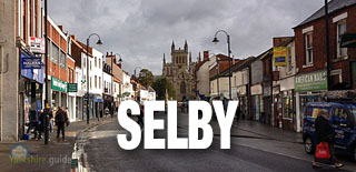
 Escrick Fairburn Gateforth Great Heck Hambleton Healaugh Hemingbrough Hensall Hillam Hirst Courtney Kelfield Kellington Kirk Smeaton Little Fenton Monk Fryston Newton Kyme North Duffield Osgodby Riccall Ryther Saxton Scarthingwell Selby
 Sherburn in Elmet
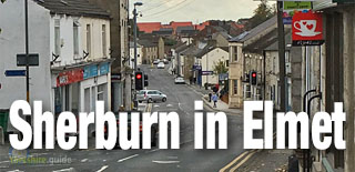 Skipwith South Duffield South Milford Stillingfleet Stutton Tadcaster
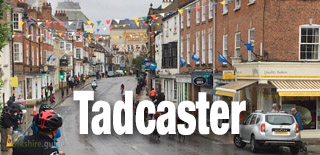 Temple Hirst Thorganby Thorpe Willoughby Towton Ulleskelf West Haddlesey Whitley Wistow Womersley
We continue to add more villages to our A to Y gazetteer and the above may not yet list all places in Selby former district — part of
NORTH YORKSHIRE