Yorkshire A to Y
Gazetteer
Ryedale former district — part of  NORTH YORKSHIRE X
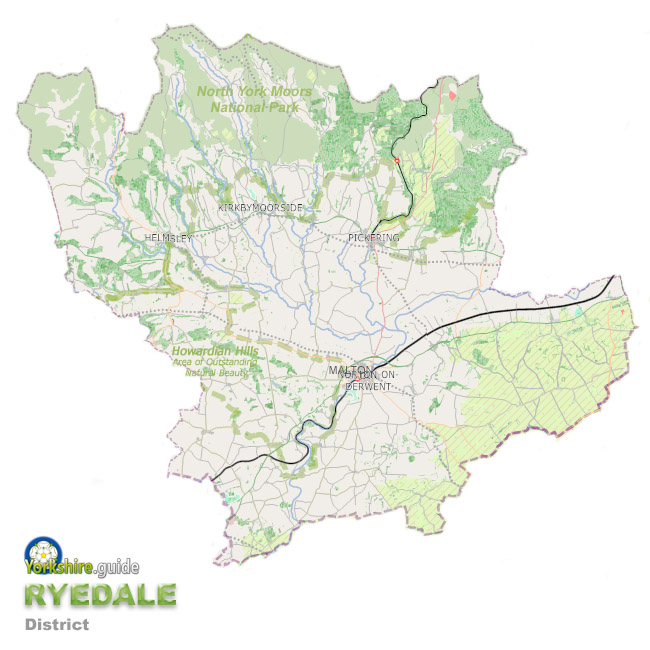 Ryedale was one of the seven now-abolished large district authorities which have been merged into a unitary authority of North Yorkshire.
The Ryedale district covered around 582 square miles in and around the Vale of Pickering in the area now run by North Yorkshire Council, the unitary authority the Government has created from the former County Council which covers a massive area of around 3,085 square miles and more than 600 towns and villages.
Part of the North York Moors National Park made up a large northern portion of the Ryedale district while to the east, the majority of the Howardian Hills Area of Outstanding Natural Beauty was within Ryedale district. The south of the district reached to the edges of the Yorkshire Wolds including an area to the south of the River Derwent which was part of the historic East Riding of Yorkshire before local government reorganisation in 1974.
The 2023 local Government change was not the first since 1974 for Ryedale. In 1996 part of the original Ryedale was absorbed into an expanded City of York when it became a unitary authority area. As a result, the area's recent population of around 55,000 was about half the Ryedale population when formed in 1974.
The administrative centre of Ryedale was the market town of Malton. The district also included other market towns and dozens of small villages which are mostly in agricultural areas.
To view our gazetteer of places across all the new North Yorkshire Council unitary authority see
 NORTH YORKSHIRE
Places in the Ryedale district were:
 Acklam
 Aislaby
 Allerston
 Ampleforth
 Amotherby
 Appleton-le-Moors
 Appleton-le-Street
 Barton-le-Street
 Barton-le-Willows
 Beadlam
 Brawby
 Broughton
 Bulmer
 Burythorpe
 Buttercrambe
 Butterwick
 Butterwick
 Byland Abbey
 Cold Kirby
 Coneysthorpe
 Cropton
 Duggleby
 East Heslerton
 Ebberston
 Fadmoor
 Flaxton
 Foxholes
 Ganton
 Gillamoor
 Gilling East
 Great Barugh
 Great Edstone
 Great Habton
 Harome
 Hawnby
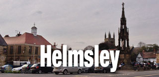
 Helmsley
 Helperthorpe
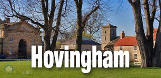
 Hovingham
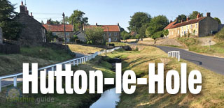
 Hutton-le-Hole
 Kirby Grindalythe
 Kirby Misperton
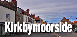
 Kirkbymoorside
 Kirkham
 Langton
 Lastingham
 Leavening
 Levisham
 Lockton
 Low Mill
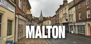
 Malton
 Marton
 Middleton
 Nawton
 Newton upon Rawcliffe
 Normanby
 North Grimston
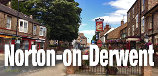
 Norton-on-Derwent
 Nunnington
 Old Malton
 Oswaldkirk
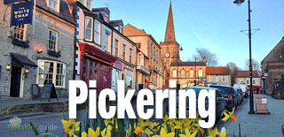
 Pickering
 Pockley
 Rievaulx
 Rillington
 Rosedale Abbey
 Salton
 Sand Hutton
 Scagglethorpe
 Scampston
 Settrington
 Sherburn
 Sheriff Hutton
 Sinnington
 Slingsby
 Staxton
 Stonegrave
 Swinton
 Terrington
 Thixendale
 Thornton-le-Clay
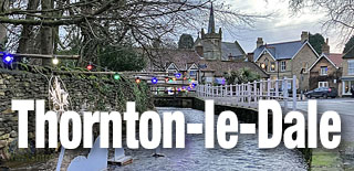
 Thornton-le-Dale
 Thorpe Bassett
 Wass
Wass Weaverthorpe
 Welburn
 West Heslerton
 West Lilling
 West Lutton
 Westow
 Wharram le Street
 Whitwell-on-the-Hill
 Willerby
 Wintringham
 Wombleton
 Wrelton
 Yedingham
We continue to add more villages to our A to Y gazetteer and the above may not yet list all places in Ryedale former district — part of
 NORTH YORKSHIRE